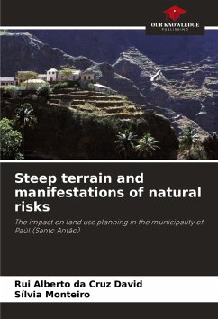
The occupation of areas at risk, such as hillsides and riverbeds, poverty and other socio-economic and demographic characteristics, and the lack of planning, make Paúl a municipality vulnerable to the risks of mass movements and flooding. Paúl's characteristic relief (steep and rugged) makes the municipality susceptible to the risks of mass movements, normally conditioned by factors such as geology, geomorphology (slope and altitude), climate, vegetation, human action on the soil, and also susceptible to the risks of flooding, driven by intense and irregular rainfall, often of a torrential nature, thus constituting a strong obstacle in the definition and spatialization of activities in a balanced way for the municipality. Despite efforts to reduce the effects of risks, this is still insufficient and mitigation measures are needed. The aim is to study the risks intrinsic to the steep and rugged terrain characteristic of the municipality, trying to show the extent to which these can influence land use planning.

