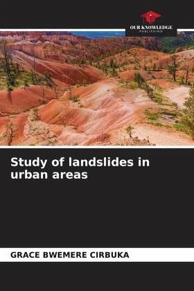
Study of landslides in urban areas
Versandkostenfrei!
Versandfertig in 6-10 Tagen
29,99 €
inkl. MwSt.

PAYBACK Punkte
15 °P sammeln!
This work dealing with the study of landslides induced by rainy events in urban areas focuses on the city of Bukavu in D.R. Congo. An inventory of 300 landslides on an area of 44 km² (or 6.81GT/km²) was carried out using field data and satellite images of 2019 and 2020 available on Google Earth. Based on the classification of Varnes 1978 updated by Hungr, (2013), three types of processes were distinguished: translational landslides 73.33%, landslides soil flows 22, 33% and rotational landslides 4.33%.The majority of these landslides or 96.33% were triggered in wet conditions (after rains) an...
This work dealing with the study of landslides induced by rainy events in urban areas focuses on the city of Bukavu in D.R. Congo. An inventory of 300 landslides on an area of 44 km² (or 6.81GT/km²) was carried out using field data and satellite images of 2019 and 2020 available on Google Earth. Based on the classification of Varnes 1978 updated by Hungr, (2013), three types of processes were distinguished: translational landslides 73.33%, landslides soil flows 22, 33% and rotational landslides 4.33%.The majority of these landslides or 96.33% were triggered in wet conditions (after rains) and 3.33% during rains and only 0.33% in dry conditions. This implies that rainfall was the main trigger for the landslides studied and the mechanism is explained by the phenomenon of increased pore pressure in the clay soils of Bukavu during the rainy seasons.


