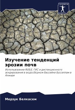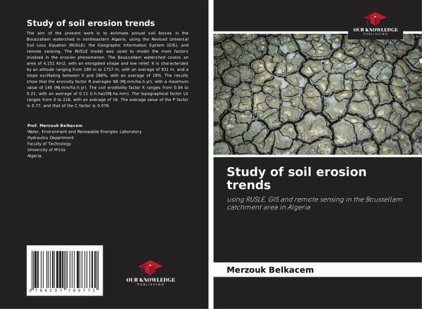
Study of soil erosion trends
using RUSLE, GIS and remote sensing in the Boussellam catchment area in Algeria
Versandkostenfrei!
Versandfertig in 6-10 Tagen
29,99 €
inkl. MwSt.

PAYBACK Punkte
15 °P sammeln!
The aim of the present work is to estimate annual soil losses in the Boussellam watershed in northeastern Algeria, using the Revised Universal Soil Loss Equation (RUSLE), the Geographic Information System (GIS), and remote sensing. The RUSLE model was used to model the main factors involved in the erosion phenomenon. The Boussellam watershed covers an area of 4,151 Km2, with an elongated shape and low relief. It is characterized by an altitude ranging from 189 m to 1757 m, with an average of 931 m, and a slope oscillating between 0 and 266%, with an average of 18%. The results show that the er...
The aim of the present work is to estimate annual soil losses in the Boussellam watershed in northeastern Algeria, using the Revised Universal Soil Loss Equation (RUSLE), the Geographic Information System (GIS), and remote sensing. The RUSLE model was used to model the main factors involved in the erosion phenomenon. The Boussellam watershed covers an area of 4,151 Km2, with an elongated shape and low relief. It is characterized by an altitude ranging from 189 m to 1757 m, with an average of 931 m, and a slope oscillating between 0 and 266%, with an average of 18%. The results show that the erosivity factor R averages 68 (MJ.mm/ha.h.yr), with a maximum value of 140 (MJ.mm/ha.h.yr). The soil erodibility factor K ranges from 0.04 to 0.21, with an average of 0.11 (t.h.ha)/(MJ.ha.mm). The topographical factor LS ranges from 0 to 216, with an average of 16. The average value of the P factor is 0.77, and that of the C factor is 0.076.


