142,99 €
inkl. MwSt.
Versandkostenfrei*
Versandfertig in 1-2 Wochen
  • Gebundenes Buch

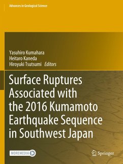
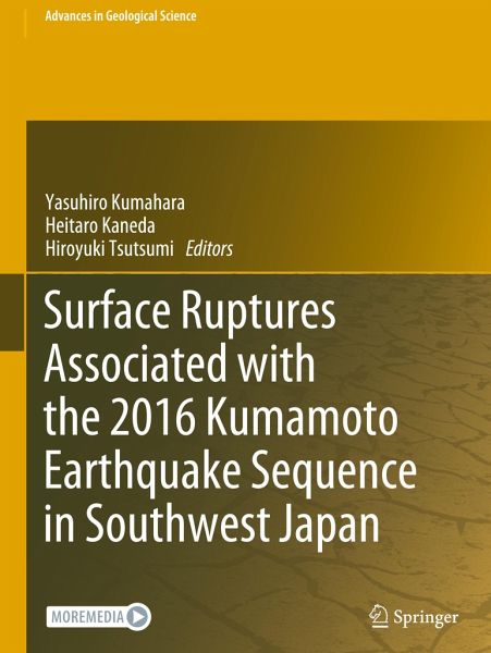
In April 2016, a series of earthquakes hit the Kumamoto area of Kyushu Island, southwest Japan. The Mj 7.3 (Mw 7.0) mainshock produced extensive and complex surface ruptures in and around the active Futagawa-Hinagu fault zone, including primary right-lateral faulting, slip-partitioned normal faulting, and distributed and triggered surface breaks, as well as minor surface ruptures associated with the foreshocks of up to Mj 6.5 (Mw 6.2). This book provides a complete record of those surface ruptures mapped by a team of more than 25 researchers from Japanese universities and research institutes.…mehr

Produktbeschreibung
In April 2016, a series of earthquakes hit the Kumamoto area of Kyushu Island, southwest Japan. The Mj 7.3 (Mw 7.0) mainshock produced extensive and complex surface ruptures in and around the active Futagawa-Hinagu fault zone, including primary right-lateral faulting, slip-partitioned normal faulting, and distributed and triggered surface breaks, as well as minor surface ruptures associated with the foreshocks of up to Mj 6.5 (Mw 6.2). This book provides a complete record of those surface ruptures mapped by a team of more than 25 researchers from Japanese universities and research institutes. The locations, traces, morphology, and displacement are described in great detail along with over 300 on-site photographs, and the information is supplemented by the GIS data available online. The book is useful for a wide range of earthquake scientists and engineers who work on active faults and related seismic hazard assessment, including earthquake geologists, tectonic geomorphologists, seismologists, geodesists, civil engineers, and city planners.
Hinweis: Dieser Artikel kann nur an eine deutsche Lieferadresse ausgeliefert werden.
Autorenporträt
Yasuhiro Kumahara is an associate professor in the Graduate School of Humanities and Social Sciences at Hiroshima University, Hiroshima, Japan. After earning his Ph.D. from Hiroshima University in 2003, he joined the Hiroshima University Museum as a curator and then the Department of Education, Gunma University, Japan. In 2017, he moved back to Hiroshima University. He has been working on tectonic geomorphology, earthquake geology, and disaster prevention education in South Asia, such as India, Nepal, Bhutan, and also in Japan, collaborating with local universities and research institutes. The research approaches he employs include geomorphology, Quaternary geology, and remote sensing. Recently, he has developed an educational program on disaster prevention of active faults in Nepal. Heitaro Kaneda is a professor in the Department of Civil and Environmental Engineering at Chuo University, Tokyo, Japan. After he earned his Ph.D. from Kyoto University and spent some time as a postdoc at The University of Tokyo and San Diego State University, he became a researcher of the Active Fault Research Center at the Geological Survey of Japan, National Institute of Advanced Industrial Science and Technology. He then moved to the Department of Earth Sciences at Chiba University and taught there for 11 years before joining Chuo University in 2020. He has been working on tectonic, mountain, and glacial/periglacial geomorphology. His research is most characterized by fieldwork at remote locations, including deep forest mountains, barren deserts, alpine mountains, and Antarctic nunataks, which are combined with detailed geomorphic analyses of high-definition digital topographic data and geochronology with widespread tephra, radiocarbon dating, and surface exposure dating. Hiroyuki Tsutsumi is a professor in the Department of Environmental Systems Science at Doshisha University, Kyoto, Japan. After earning his Ph.D. from Oregon State University in 1996, he taught at the Department of Geology, Kochi University and the Department of Geophysics, Kyoto University. Since 2017, he has taught at Doshisha University. He has been working on tectonic geomorphology and earthquake geology in Asia, such as Afghanistan, Pakistan, Myanmar, Indonesia, Philippines, Japan, and the Russian Far East, collaborating with local universities and research institutes. He employs multidisciplinary approaches, including geomorphology, Quaternary geology, structural geology, remote sensing, geochronology, and shallow subsurface geophysics.