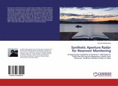
The main aim of this book is to provide the knowledge of SAR in Reservoir Monitoring. Synthetic Aperture Radar (SAR) measurements from space are independent of daytime and weather conditions and can provide valuable information to monitor flood events. This study explored large inundation areas in the Idukki Reservoir in Kerala state. Sentinel-1A image with C-band and dual-polarization capability (HH+HV or VV+VH) was used in the study. This study aims to analyses Sentinel-1 SAR data for its potential to map standing water in the Idukki reservoir. 15 SAR images of Level-1 Ground Range Detected (GRD) C-band (5.405 GHz) collected in the Interferometric Wide Swath (IW) mode - during the period from January 2016 to December 2016 - were used to develop a procedure for reliable processing.
Hinweis: Dieser Artikel kann nur an eine deutsche Lieferadresse ausgeliefert werden.
Hinweis: Dieser Artikel kann nur an eine deutsche Lieferadresse ausgeliefert werden.

