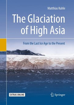
This book summarizes four decades of glacial-geomorphological field research in Central and High Asia in an attempt to draw a significant link between Quaternary science research and paleoclimatology. Based on the latest geomorphological findings, this study offers a large-scale reconstruction of the Last Glacial Maximum (LGM) that in High Asia encompassed a total expanse of no less than three million km2, including the Central Tibetan plateau with 2.4 million km2. The author offers a complete reconstruction of the Late Glacial, Holocene, and Historical glacier advances as well as the successive Postglacial ablation stages extending to the present.
Taken together, the findings presented here provide the first insights into a global-climatic impact of the Last Glacial Maximum in Central and High Asia with respect to the current interglacial stage. The comparative data analyses point to an inland glaciation at subtropical latitude covering an area larger than the Nordicinland glaciation in Greenland. These insights are facilitated by a methodological approach, unprecedented in modern Quaternary research, that combines high-quality panoramic photography with high-resolution satellite imagery. This combination of terrestrial and aerial perspectives enables scientists and readers alike to visualize the geomorphology of the landscape as a three-dimensional space. The author's successful union of digital big data resources with classical geomorphological analysis offers an exciting new template for future research in Quaternary science and related fields.
Hinweis: Dieser Artikel kann nur an eine deutsche Lieferadresse ausgeliefert werden.

