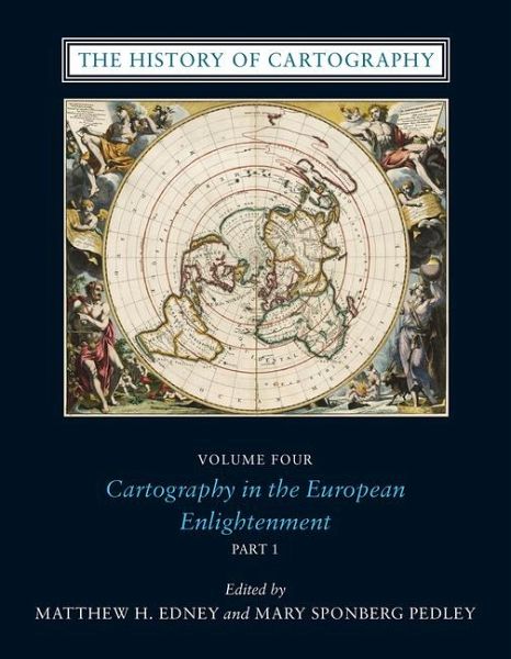
The History of Cartography, Volume 4
Cartography in the European Enlightenment
Herausgeber: Pedley, Mary Sponberg; Edney, Matthew H
Versandkostenfrei!
Versandfertig in 2-4 Wochen
579,99 €
inkl. MwSt.

PAYBACK Punkte
290 °P sammeln!
"Between 1650 and 1800, the social and intellectual changes that were sweeping Europe also transformed its mapmaking practices. Throughout the nations on the continent as well as their overseas territories, a new emphasis on geometrical principles gave rise to improved tools for measurement and mapping of the world, even as the rising power of the state enabled large-scale mapping and surveying projects. As illustrated in this comprehensive history, however, cartography encompasses a wide variety of processes for making, circulating, and using maps of different types, and the developments of t...
"Between 1650 and 1800, the social and intellectual changes that were sweeping Europe also transformed its mapmaking practices. Throughout the nations on the continent as well as their overseas territories, a new emphasis on geometrical principles gave rise to improved tools for measurement and mapping of the world, even as the rising power of the state enabled large-scale mapping and surveying projects. As illustrated in this comprehensive history, however, cartography encompasses a wide variety of processes for making, circulating, and using maps of different types, and the developments of the Enlightenment era affected these processes in different ways, depending on the type of map and the context of its production. The volume's 489 encyclopedia-style articles, contributed by an international cast of 207 scholars and experts, range from short biographical sketches of key individuals to multipart entries on such broad topics as "Geodetic Surveying," "Thematic Mapping," and "Map Collecting." Each entry includes bibliographical references, and the volume is illustrated with 954 images, all printed in full color"--


