278,99 €
inkl. MwSt.
Versandkostenfrei*
Versandfertig in über 4 Wochen
  • Gebundenes Buch

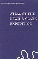
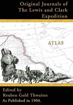
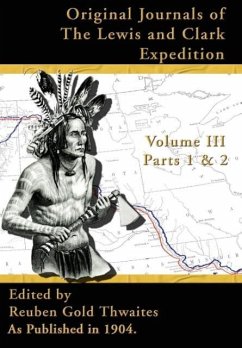
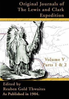
When the Corps of Discovery left the vicinity of St. Louis in 1804 to explore the American West, they had only sketchy knowledge of the terrain that they were to cross-existing maps often contained large blank spaces and wild inaccuracies. William Clark painstakingly mapped every mile of the journey, drawing from both direct observation and from the reports of Indians and a few fur traders. On their return Lewis and Clark directed the execution of new maps detailing with remarkable accuracy the features of the country that they had traversed.

Produktbeschreibung
When the Corps of Discovery left the vicinity of St. Louis in 1804 to explore the American West, they had only sketchy knowledge of the terrain that they were to cross-existing maps often contained large blank spaces and wild inaccuracies. William Clark painstakingly mapped every mile of the journey, drawing from both direct observation and from the reports of Indians and a few fur traders. On their return Lewis and Clark directed the execution of new maps detailing with remarkable accuracy the features of the country that they had traversed.
Hinweis: Dieser Artikel kann nur an eine deutsche Lieferadresse ausgeliefert werden.
Autorenporträt
Gary E. Moulton is Thomas C. Sorensen Professor of American History at the University of Nebraska and recipient of the J. Franklin Jameson Award of the American Historical Association for the editing of these journals.