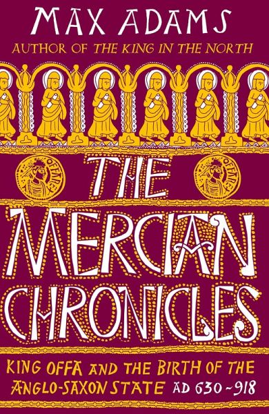
The eighth century has for long been a neglected backwater in British history: a shadow land between the death of Bede and the triumphs of Ælfred, which saw the rise of Wessex as the dominant Anglo-Saxon kingdom and the eventual unification of England. But before the hegemony of Wessex, the kingdom of Mercia - spread across a broad swathe of central England - was the dynamic heart of a kingship that discovered the means to exercise central political authority for the first time since the Roman empire. That authority was used to construct trading networks and markets; develop strong economic, cultural and political links with the Continent, and lay the foundations for a system of co-ordinated defence that would be reinvented by Ælfred at the end of the ninth century. This is also the period in which England's much-loved and studied place names were largely formed and when the geography of our parishes was crystallised. Two kings, Æthelbald (716-757) and Offa (757-796) dominate the political landscape of the rising power of Mercia. During their reigns monasteries became power houses of royal patronage, economic enterprise and trade. Offa constructed his grandiose dyke along the borders of the warlike Welsh Kingdoms and, more subtly, spread his message of political superiority through coinage bearing his image. But Æthelbald and Offa between them built something with an even more substantial legacy - a geography of medieval England. And they engineered a set of tensions between kingship, landholding and church that were to play out dramatically at the dawn of the Viking Age. In this, the latest in his admired sequence of histories of Early Medieval Britain, Max Adams re-connects the worlds of Oswald, Bede and Ælfred in an absorbing study of the landscape, politics and society of a fascinating century of change.
Hinweis: Dieser Artikel kann nur an eine deutsche Lieferadresse ausgeliefert werden.