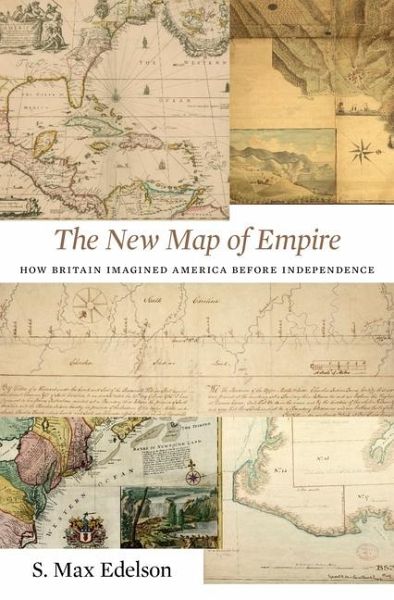
The New Map of Empire
How Britain Imagined America Before Independence
Versandkostenfrei!
Versandfertig in über 4 Wochen
38,99 €
inkl. MwSt.

PAYBACK Punkte
19 °P sammeln!
In 1763 British America stretched from Hudson Bay to the Keys, from the Atlantic to the Mississippi. Using maps that Britain created to control its new lands, Max Edelson pictures the contested geography of the British Atlantic world and offers new explanations of the causes and consequences of Britain's imperial ambitions before the Revolution.


