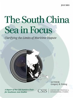
Satellite imagery and geospatial analysis tools offer an unprecedented opportunity to harness new technologies in order to help resolve boundary disputes. The South China Sea in Focus: Clarifying the Limits of Maritime Dispute uses these tools to provide a first and necessary step toward tackling the overlapping maritime disputes in the South China Sea.
Hinweis: Dieser Artikel kann nur an eine deutsche Lieferadresse ausgeliefert werden.
Hinweis: Dieser Artikel kann nur an eine deutsche Lieferadresse ausgeliefert werden.

