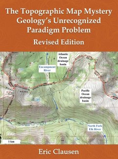
Most drainage system and erosional landform features as mapped on United States Geological Survey topographic maps represent anomalous evidence which the accepted Cenozoic geology and glacial history research community has almost always ignored. These features blanket most continental land areas and include river and stream valleys, drainage divides, mountain passes, through valleys (valley crossing drainage divides), canyons cut across mountain ranges, water gaps, wind gaps, abrupt river and stream direction changes, barbed tributaries, erosional escarpments, and many other similar features. How can the geology research community claim to understand Cenozoic geology and glacial history when geologists have never determined what the well-mapped topographic map drainage system and erosional landform evidence has to say?
Hinweis: Dieser Artikel kann nur an eine deutsche Lieferadresse ausgeliefert werden.
Hinweis: Dieser Artikel kann nur an eine deutsche Lieferadresse ausgeliefert werden.

