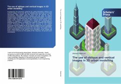
Investigating the geometric potential for using Pictometry oblique and vertical imagery to provide 3D city modelling and texturing is of crucial importance. Most people view the world from the ground, so the revolutionary Pictometry oblique imagery can be used for texture mapping large models quickly and can enable photorealism. Terrestrial imagery might be combined with oblique imagery in certain areas to give better quality models, particularly when 'ground level' viewing of the models is required. It is necessary to create and analyse different photogrammetric blocks of images that used the relatively new imaging system, Pictometry, which combines five cameras in one cluster producing vertical images as well as oblique images from the 4 compass directions. The images are provided with information so that potentially, efficient photogrammetric processing can take place. The quality of the direct measurement of the position and orientation of the images will have a direct influence on the quality of the 'mapping'; 3D ground point coordination.
Bitte wählen Sie Ihr Anliegen aus.
Rechnungen
Retourenschein anfordern
Bestellstatus
Storno

