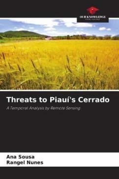
The Cerrado is the largest vegetation formation in South America, covering just over 2 million km². Of the 203.4 million hectares of Cerrado, which represent around 24% of the entire Brazilian territory, half has been lost to practices such as unbridled grain production, extensive cattle ranching, energy generation and infrastructure. With 5.9% of the Brazilian Cerrado, the state of Piauí suffers from deforestation for agricultural exploitation. In this context, this book used Remote Sensing and Image Data Mining techniques applied to Landsat 5 satellite images to carry out a Temporal Analysis of the growth in the replacement of native vegetation in favor of agribusiness in the Piauí municipalities of Uruçuí and Bom Jesus and the consequent socio-environmental impacts caused by this practice on the Piauí Cerrado. The analysis showed a marked increase in land use in the areas under study, which led to the conclusion that the use of these techniques is a viable alternative for monitoring the processes of replacing native vegetation and assessing the socio-environmental damage caused by this practice.
Bitte wählen Sie Ihr Anliegen aus.
Rechnungen
Retourenschein anfordern
Bestellstatus
Storno

