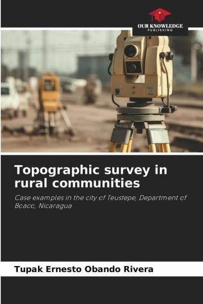
Topographic survey in rural communities
Case examples in the city of Teustepe, Department of Boaco, Nicaragua
Versandkostenfrei!
Versandfertig in 6-10 Tagen
29,99 €
inkl. MwSt.

PAYBACK Punkte
15 °P sammeln!
The field survey in the field of topography is one of the key processes of scientific research, in fact, from there, more effective and realistic decisions are made, a budget is built, and it is decided what equipment or technique will be used for a topographic survey altimetry and planimetric. Through the topographic survey, the current natural conditions of the terrain are evaluated. Likewise, the type and quantity of personnel to be employed in the topographic survey is decided. For this reason, it is one of the most important stages prior to the execution of an engineering work or cadastra...
The field survey in the field of topography is one of the key processes of scientific research, in fact, from there, more effective and realistic decisions are made, a budget is built, and it is decided what equipment or technique will be used for a topographic survey altimetry and planimetric. Through the topographic survey, the current natural conditions of the terrain are evaluated. Likewise, the type and quantity of personnel to be employed in the topographic survey is decided. For this reason, it is one of the most important stages prior to the execution of an engineering work or cadastral survey. In this book you will find updated data on the subject, photos, maps, and graphics that improve the understanding of the subject. We hope you enjoy it.


