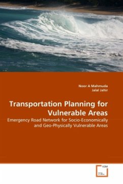
Approximately 26 thousand square kilometers of 46 districts within Bangladesh's territory had been inundated during the flood of 2007 affecting almost 13.3 million people (DER, 2007). This natural phenomenon is an enduring companion to Bangladesh due to the geo-physical location of the country. The history of frequent incidences of flood in Bangladesh articulated the fact that the remote areas should be well connected with developed road network to ensure proper distribution of emergency relief to the vulnerable population during disaster. Shivalaya upazila of Manikganj District, Bangladesh is situated on the bank of river Padma and Jamuna and faces occurrences of flood almost every year; and thus ideally taken as the study area for this book. This book initiates the statistical evaluation of the most vulnerable areas of the upazila in terms of socio-economic and geo-physical traits and recommends emergency road networks to ensure fluent distribution of relief materials in the most vulnerable areas during flood. This book explains the scholars in the field of transportation & hazard planning, the analytical ways of studying vulnerability and planning for emergency road network.
Bitte wählen Sie Ihr Anliegen aus.
Rechnungen
Retourenschein anfordern
Bestellstatus
Storno

