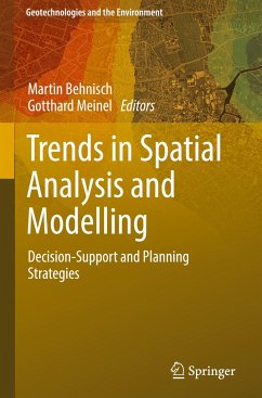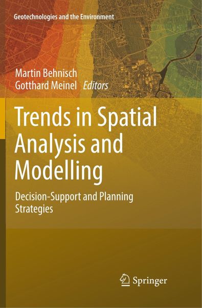
This book is a collection of original research papers that focus on recent developments in Spatial Analysis and Modelling with direct relevance to settlements and infrastructure. Topics include new types of data (such as simulation data), applications of methods to support decision-making, and investigations of human-environment data in order to recognize significance for structures, functions and processes of attributes. Research incorporated ranges from theoretical through methodological to applied work. It is subdivided into four main parts: the first focusing on the research of settlements…mehr
This book is a collection of original research papers that focus on recent developments in Spatial Analysis and Modelling with direct relevance to settlements and infrastructure. Topics include new types of data (such as simulation data), applications of methods to support decision-making, and investigations of human-environment data in order to recognize significance for structures, functions and processes of attributes. Research incorporated ranges from theoretical through methodological to applied work. It is subdivided into four main parts: the first focusing on the research of settlements and infrastructure, the second studies aspects of Geographic Data Mining, the third presents contributions in the field of Spatial Modelling, System Dynamics and Geosimulation, and the fourth part is dedicated to Multi-Scale Representation and Analysis. The book is valuable to those with a scholarly interest in spatial sciences, urban and spatial planning, as well as anyone interested inspatial analysis and the planning of human settlements and infrastructure. Most of the selected papers were originally presented at the "International Land Use Symposium (ILUS 2015): Trends in Spatial Analysis and Modelling of Settlements and Infrastructure" November 11-13 2015, in Dresden, Germany.
Martin Behnisch received his diploma and doctoral degrees at the Department of Architecture, Karlsruhe Institute of Technology. He also received a degree in Wood Processing Technologies (University of Cooperative Education, Dresden, Germany) and a master's degree in Geographical Information Science (University of Salzburg, Austria) with distinction. He worked in Switzerland as a post-doctoral researcher (2007-2011) at the Institute of Historic Building Research (ETH Zurich). He is currently a senior scientist at the Leibniz Institute of Ecological Urban and Regional Development. His research interests are in spatial analysis and modeling, urban data mining, spatial monitoring, land use science as well as building stock research. He has published numerous refereed articles in international journals, scientific books and conference proceedings in his discipline. Dr. Gotthard Meinel is specialist in the field of monitoring of land use development. His research interests are indicator development, automated spatial analysis of large datasets and visualization technologies. Since 1992 he has been acting as a project leader in the field of informatics, GIS and remote sensing at Leibniz Institute of Ecological Urban and Regional Development (IOER). Since 2009 he has been head of the research area "Monitoring of settlement and open space development" at IOER in Dresden. He received an M.S. in Information Technology in 1981 and a Ph.D. degree in Image Processing at Dresden University of Technology in 1987. Later he was a postdoctoral researcher in biomathematics and technical mathematics. He has published more than 100 research articles in international journals and refereed conference proceedings.
Inhaltsangabe
Part 1: Towards a better understanding of settlements and infrastructure.- Chapter 1. Reverse engineering of land cover data: Machine learning for data replication in the spatial and temporal domains (Maclaurin).- Chapter 2. Spatial analysis requires a different way of thinking: the problem of spatial heterogeneity (Jiang).- Part 2: Geographic data mining.- Chapter 3: Survey on spatiotemporal and semantic data mining (Yuan).- Chapter 4. Spatial clustering with SOM and GeoSOM (Bação).- Chapter 5. Spatial analysis with self-organizing neural networks: SPAWNN Toolkit (Hagenauer).- Part 3: Spatial modelling, system dynamics and geosimulation.- Chapter 6. The evolution of the land development industry. An agent-based simulation model? (Modified re-print) (Almagor).- Chapter 7. Dynamic relationships between human decision making and socio-natural systems (Koch).- Chapter 8. Lessons and challenges in land change modelling derived from synthesis of cross-case comparisons (Gilmore Pontius Jr.).- Part 4: Multi-scale representation and analysis.- Chapter 9. Applications of 3D city models for a better understanding of the built environment (Willenborg).- Chapter 10. An automatic approach for generalization of land-cover data from topographic data (Thiemann).- Chapter 11. Epilogue (Pumain).
Es gelten unsere Allgemeinen Geschäftsbedingungen: www.buecher.de/agb
Impressum
www.buecher.de ist ein Internetauftritt der buecher.de internetstores GmbH
Geschäftsführung: Monica Sawhney | Roland Kölbl | Günter Hilger
Sitz der Gesellschaft: Batheyer Straße 115 - 117, 58099 Hagen
Postanschrift: Bürgermeister-Wegele-Str. 12, 86167 Augsburg
Amtsgericht Hagen HRB 13257
Steuernummer: 321/5800/1497