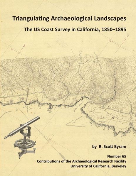
Triangulating Archaeological Landscapes
Versandkostenfrei!
Versandfertig in 1-2 Wochen
48,99 €
inkl. MwSt.

PAYBACK Punkte
24 °P sammeln!
Archaeologist Scott Byram presents results from in-depth study of the manuscript records of the U.S. Coast Survey at the National Archives in Maryland. The volume includes photos and scans of numerous hand drawn topographic maps, sketches, and notebook pages depicting dozens of California archaeological sites, from shipwrecks to shell mounds. Methods are presented for using this archival collection in numerous West Coast settings. This research led to the recent rediscovery of the Lone Woman's Cave on San Nicolas Island, relocation and excavation of the 1852 military shipwreck survivor site kn...
Archaeologist Scott Byram presents results from in-depth study of the manuscript records of the U.S. Coast Survey at the National Archives in Maryland. The volume includes photos and scans of numerous hand drawn topographic maps, sketches, and notebook pages depicting dozens of California archaeological sites, from shipwrecks to shell mounds. Methods are presented for using this archival collection in numerous West Coast settings. This research led to the recent rediscovery of the Lone Woman's Cave on San Nicolas Island, relocation and excavation of the 1852 military shipwreck survivor site known as Camp Castaway, and the definitive mapping of Lewis and Clark's Fort Clatsop. Over 50 archaeological and historical sites in California are illuminated using the nineteenth century maps and field notes, most of which have not previously been available to researchers.


