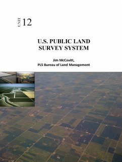
The United States Public Land Survey System (PLSS) began with the Land Ordinance of 1785. The ordinance provided for the systematic survey and monumentation of the federal lands into townships and sections. The system was largely put in place by 1805, with only minor refinements being made from time to time thereafter. The surveys in California were initiated in 1851, shortly after statehood. The intent of the system was to survey and monument the western lands prior to patenting the lands to private citizens. The surveyed sections provided standard sized and shaped parcels of land, interrelated by reference to townships and initial points. Simple aliquot part descriptions, dividing sections into halves and fourths ad infinitum, were all that were necessary to describe with certainty a parcel of land.
Hinweis: Dieser Artikel kann nur an eine deutsche Lieferadresse ausgeliefert werden.
Hinweis: Dieser Artikel kann nur an eine deutsche Lieferadresse ausgeliefert werden.


