Understanding GIS through Sustainable Development Goals Case Studies with QGIS
-
- Hardcover ausgewählt
- Taschenbuch
- eBook
-
Sprache:Englisch
195,99 €
inkl. gesetzl. MwSt.,
Lieferung nach Hause
Beschreibung
Produktdetails
Einband
Gebundene Ausgabe
Erscheinungsdatum
12.04.2023
Abbildungen
schwarz-weiss Illustrationen, farbige Illustrationen, Raster, schwarz-weiss, Raster, farbig, Zeichnungen, schwarz-weiss, Zeichnungen, farbig, Tabellen, farbig
Verlag
Taylor & FrancisSeitenzahl
322
Maße (L/B/H)
24/16,1/2,3 cm
Gewicht
700 g
Farbe
Ozeanblau / Cool Grey
Sprache
Englisch
ISBN
978-1-03-211573-3
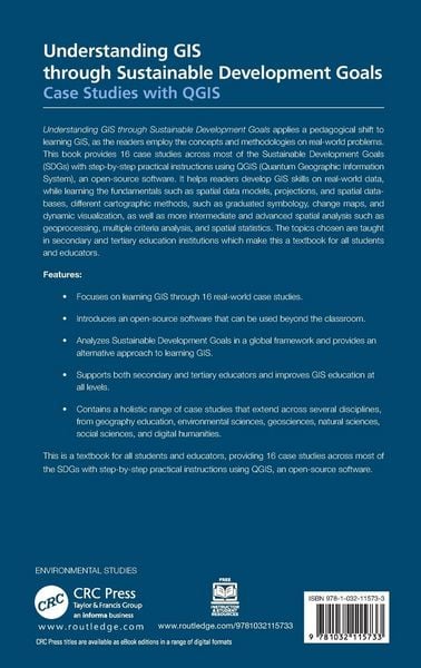
This book applies a pedagogical shift to learning and teaching GIS, as readers employ the concepts and methodologies on real-world problems. A textbook for all educators, it provides 16 case studies across most of the SDGs with step-by-step instructions using QGIS, an open-source software.
Noch keine Bewertungen vorhanden
Verfassen Sie die erste Bewertung zu diesem Artikel
Helfen Sie anderen Kundinnen und Kunden durch Ihre Meinung.
Kurze Frage zu unserer Seite
Vielen Dank für dein Feedback
Wir nutzen dein Feedback, um unsere Produktseiten zu verbessern. Bitte habe Verständnis, dass wir dir keine Rückmeldung geben können. Falls du Kontakt mit uns aufnehmen möchtest, kannst du dich aber gerne an unseren Kund*innenservice wenden.
zum Kundenservice