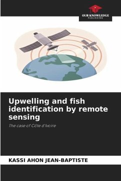
Faced with the threat of overfishing in the Gulf of Guinea, this study was initiated on the Ivorian continental shelf to better understand the availability of pelagic species in relation to the prevalence of upwelling.The study is based on the combined analysis of in situ and remote sensing data. Chlorophyll concentration obtained using the SeaWiFS sensor is calculated using the OC4v4 bio-obtical algorithm by applying azimuthal projection using SeaDAS v4.7. Sea surface temperature is obtained using the Multi-channel Sea Surface Temperature (MCSST) algorithm, based on channels 4 and 5 of the AVHRR sensor. The stability of the water column due to wind or turbulence was calculated using wind speed data from ERS I and ERS II. The combined use of satellite images and a Geographic Information System (GIS) makes it possible to define areas suitable for fishing, based on analysis of the environmental factors that contribute to larval retention.
Bitte wählen Sie Ihr Anliegen aus.
Rechnungen
Retourenschein anfordern
Bestellstatus
Storno

