32,99 €
inkl. MwSt.
Versandkostenfrei*
Versandfertig in 6-10 Tagen
  • Broschiertes Buch

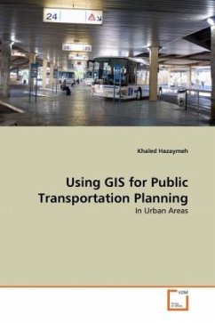
Urban planning is one of the main applications of GIS. Urban planners use GIS both as a spatial database and as an analysis and modeling tool. The applications of GIS vary according to different stages, levels, sectors, and functions of urban planning such as transportation network. This transportation network can be rightly stated as the lifelines of the people that connect both urban and rural areas.

Produktbeschreibung
Urban planning is one of the main applications of GIS. Urban planners use GIS both as a spatial database and as an analysis and modeling tool. The applications of GIS vary according to different stages, levels, sectors, and functions of urban planning such as transportation network. This transportation network can be rightly stated as the lifelines of the people that connect both urban and rural areas.
Autorenporträt
Khaled Hazaymeh is with the GIS and Remote Sensing Section of the Departement of Geography at Yarmouk University in Jordan. He has a Master of Remote Sensing and GIS from UPM and BA in Geography and Spatial Planning from Yarmouk University. His research of interests includes the applications of Remote Sensing and GIS in Urban Planning