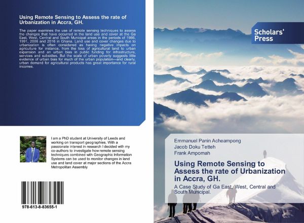
Using Remote Sensing to Assess the rate of Urbanization in Accra, GH.
A Case Study of Ga East, West, Central and South Municipal.
Versandkostenfrei!
Versandfertig in 6-10 Tagen
30,99 €
inkl. MwSt.

PAYBACK Punkte
15 °P sammeln!
The paper examines the use of remote sensing techniques to assess the changes that have occurred in the land use and cover at the Ga East, West, Central and South Municipal areas in the periods of 1986, 1991, 2006 and 2016 in Ghana. Land use and cover changes due to urbanization is often considered as having negative impacts on agriculture for instance, from the loss of agricultural land to urban expansion and an urban bias in public funding for infrastructure, services and subsidies. But the scale of urban poverty suggests little evidence of urban bias for much of the urban population-and cle...
The paper examines the use of remote sensing techniques to assess the changes that have occurred in the land use and cover at the Ga East, West, Central and South Municipal areas in the periods of 1986, 1991, 2006 and 2016 in Ghana. Land use and cover changes due to urbanization is often considered as having negative impacts on agriculture for instance, from the loss of agricultural land to urban expansion and an urban bias in public funding for infrastructure, services and subsidies. But the scale of urban poverty suggests little evidence of urban bias for much of the urban population-and clearly, urban demand for agricultural products has great importance for rural incomes.


