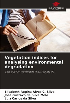
There is growing concern about environmental planning strategies that mitigate the degradation of natural areas. A survey of current land use, which is necessary for planning purposes, can be obtained using multispectral data provided by remote sensing satellites. The study therefore takes place in the area of influence of the Paratibe River in the state of Pernambuco, and aims to carry out a spatio-temporal analysis of the lagoon based on remote sensing techniques. Three biophysical variables were used in the evaluation: the normalised difference vegetation index (NDVI) to assess the chlorophyll content of the vegetation, the soil-adjusted vegetation index (SAVI) and the leaf area index (LAI) to understand the dynamics of the area. The study showed that the vegetation with considerable chlorophyll content over two decades showed a considerable decrease in the areas around Mata do Janga, however within the reserve the vegetation increased between 2005 and 2011, due to the area's conservation strategies. SAVI and IAF, on the other hand, showed a decrease as they are parameters linked to vegetation structure.
Bitte wählen Sie Ihr Anliegen aus.
Rechnungen
Retourenschein anfordern
Bestellstatus
Storno

