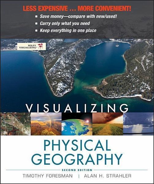
LESS EXPENSIVE ... MORE CONVENIENT! * Save money--compare with new/used! * Carry only what you need * Keep everything in one place "Students using Wiley Visualizing show much greater increases in knowledge and skills, and have higher retention rates through the course, than their counterparts that used competing textbooks." --SEG Research, an independent research firm IMPROVING STUDENT LEARNING WITH GRAPHICALLY ENHANCED EDUCATIONAL PROGRAMS: SEG Research recently conducted a national, multi-site study of students enrolled in introductory-level college courses. The study evaluated the…mehr
LESS EXPENSIVE ... MORE CONVENIENT! * Save money--compare with new/used! * Carry only what you need * Keep everything in one place "Students using Wiley Visualizing show much greater increases in knowledge and skills, and have higher retention rates through the course, than their counterparts that used competing textbooks." --SEG Research, an independent research firm IMPROVING STUDENT LEARNING WITH GRAPHICALLY ENHANCED EDUCATIONAL PROGRAMS: SEG Research recently conducted a national, multi-site study of students enrolled in introductory-level college courses. The study evaluated the effectiveness of Wiley Visualizing, an educational program designed to better engage students, increase retention, and improve student learning by use of a pedagogy in which meaningful visuals and multimedia are integrated with the text. The findings, rare for this kind of education research, indicate that students using Wiley Visualizing, including both print and online resources, made significantly greater gains in content area knowledge and skills and had higher retention over the course of the semester when compared to students in classes using competing textbooks and accompanying multimedia (SEG Research, 2010)*. Wiley Visualizing supports faculty and promotes student engagement by facilitating comprehension leading to increased retention. LEARNING THROUGH VISUALIZINGHinweis: Dieser Artikel kann nur an eine deutsche Lieferadresse ausgeliefert werden.
Tim Foresman earned his Ph.D. degree in Geography from the University of California at Santa Barbara. He is adjunct Professor of Geography at University of Maryland and president of the International Center for Remote Sensing Education. He has over 100 professional articles and books on environmental protection and sustainable development using the applied tools of geography, including remote sensing and geographic information systems (GIS). His pioneering work in spatial information systems and geographic information systems includes a seminal publication on the history of GIS and a Lifetime Achievement Award from ESRI. His active research and field studies have included tenure with the US Department of Defense, US Environmental Protection Agency, NASA, and the United Nations Environment Programme. His international recognition includes service as adjunct professor at Coventry University in England and Qinghai University in China, as well as visiting professor at Keio University in Japan. He was elected as Fellow of Sigma Xi, the scientific research society Alan Strahler earned his Ph.D. degree in Geography from Johns Hopkins in 1969, and is presently Professor of Geography at Boston University. He has published over 250 articles in the refereed scientific literature, largely on the theory of remote sensing of vegetation, and has also contributed to the fields of plant geography, forest ecology, and quantitative methods. In 2011, he received the Pecora Award from the US Geological Survey and the American Society of Photogrammetry and Remote Sensing in recognition of his work in remote sensing. He has also been awarded the Association of American Geographers/Remote Sensing Specialty Group Medal for Outstanding Contributions to Remote Sensing. With Arthur Strahler, he is a coauthor of seven textbook titles with twelve revised editions on physical geography and environmental science. He holds the honorary degree D.S.H.C. from the Université Catholique de Louvain, Belgium, and is a Fellow of the American Association for the Advancement of Science.
Inhaltsangabe
Preface 1 Discovering the Earth's Dimensions 2 The Earth's Global Energy Balance 3 Air Temperature 4 Atmospheric Moisture and Precipitation 5 Global Atmospheric and Oceanic Circulation 6 Weather Systems 7 Global Climates and Climate Change 8 Earth from the Inside Out 9 Plate Tectonics, Earthquakes, and Volcanoes 10 Weathering and Mass Wasting 11 Fresh Water of the Continents 12 Landforms Made by Running Water 13 Landforms Made by Wind and Waves 14 Glacial and Periglacial Landforms 15 Global Soils 16 Biogeographic Processes 17 Global Biogeography Appendix: Answers to Self-Tests Glossary References Text, Table and Line Art Credits Photo Credits Index
Es gelten unsere Allgemeinen Geschäftsbedingungen: www.buecher.de/agb
Impressum
www.buecher.de ist ein Internetauftritt der buecher.de internetstores GmbH
Geschäftsführung: Monica Sawhney | Roland Kölbl | Günter Hilger
Sitz der Gesellschaft: Batheyer Straße 115 - 117, 58099 Hagen
Postanschrift: Bürgermeister-Wegele-Str. 12, 86167 Augsburg
Amtsgericht Hagen HRB 13257
Steuernummer: 321/5800/1497