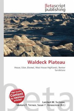
Please note that the content of this book primarily consists of articles available from Wikipedia or other free sources online. The Waldeck Plateau (German: Waldecker Tafel orWaldecker Tafelland) is a natural ''upper main unit'' in the German state of Hesse between the rivers Eder and Diemel, the East Sauerland Hills in the west and the East Waldeck Basin in the east.The unit and term Waldecker Tafel ("Waldeck Table") was coined in the 1950s because the decimal system of natural main units and their groups in the West Hesse Highlands (main unit group 34) had not proved sufficient, because this group had more than 11 clearly separate main units. Under the serial number 340 were included the open high plateaus made of Zechstein and Bunter sandstone of the Waldeck Plain (3401) and the adjacent thickly wooded Bunter sandstone ridge of the Waldeck Forest (3402). Both landscape units are considered as independent main units.
Bitte wählen Sie Ihr Anliegen aus.
Rechnungen
Retourenschein anfordern
Bestellstatus
Storno

