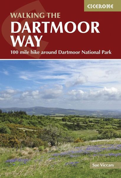
Walking the Dartmoor Way
109-mile hike around Dartmoor National Park

PAYBACK Punkte
12 °P sammeln!
Guidebook to walking the Dartmoor Way, a 109-mile (175km) trail in southwest England's largest national park. This fully waymarked circular route skirts the edge of Dartmoor in ten daily stages of 8-13 miles (12-21km), while the two-day High Moor Link crosses the moor's granite upland interior. * Passes towns of Ivybridge, Buckfastleigh, Ashburton, Okehampton and Tavistock * Route includes attractions such as Buckfast Abbey, Haytor Rocks, the Teign Gorge and Castle Drogo * Each stage features 1:50,000 scale OS mapping, elevation profiles and bad-weather detours to avoid high ground * Full desc...
Guidebook to walking the Dartmoor Way, a 109-mile (175km) trail in southwest England's largest national park. This fully waymarked circular route skirts the edge of Dartmoor in ten daily stages of 8-13 miles (12-21km), while the two-day High Moor Link crosses the moor's granite upland interior. * Passes towns of Ivybridge, Buckfastleigh, Ashburton, Okehampton and Tavistock * Route includes attractions such as Buckfast Abbey, Haytor Rocks, the Teign Gorge and Castle Drogo * Each stage features 1:50,000 scale OS mapping, elevation profiles and bad-weather detours to avoid high ground * Full descriptions of the route in both directions, plus advice on walking the entire circuit in 7 days or using the High Moor Link to create shorter loops * Packed with notes on where to eat and stay, parking and public transport * GPX files available for download


