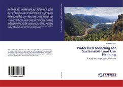
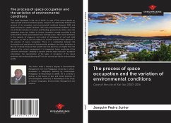
Land use changes in river basins result in flooding events that increase sediment load, which is a global concern and is becoming one of the main land management issues. Urban and agriculture development contributes to increasing trend of environmental damage within the Langat River Basin. Thus, an optimum land use pattern is necessary to meet long-term sustainable development in and around the basin. Recently, the geographic information system-based spatial process modelling have become indispensable tools for understanding natural processes occurring at the watershed scale. This book was concentrated on an applied framework for land use planning within the Langat upper catchments using the most applicable approaches for trend analysis, land use and hydrological modelling, and goal programming. In this book, the proposed framework for land use planning involved four main steps, i.e. hydrological trend analysis, land use modelling, landscape assessment and scenario making, hydrological modelling, and goal programming.
Bitte wählen Sie Ihr Anliegen aus.
Rechnungen
Retourenschein anfordern
Bestellstatus
Storno

