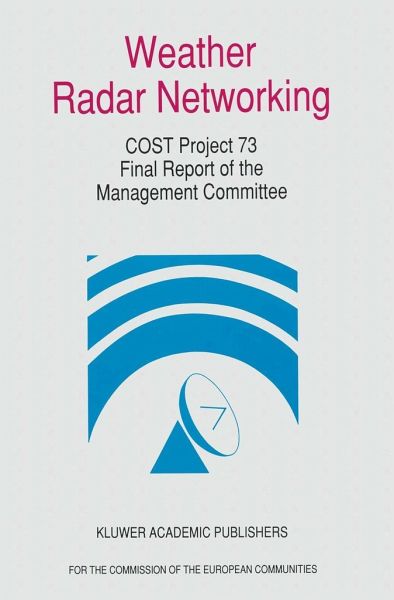
Weather Radar Networking (Cost 73 Project) Final Report
Edited for the Cost 73 Management Committee
Herausgegeben: Newsome, D. H.
Versandkostenfrei!
Versandfertig in 6-10 Tagen
61,99 €
inkl. MwSt.

PAYBACK Punkte
31 °P sammeln!
This five-year project started on 25th September 1986. Eventually, sixteen countries and the European Commission itself signed the Memorandum of Understanding. The principal objectives of the Project were to further the establishment of national operational weather radar networks, harmonise operations, data handling and processing to minimise the difficulties of, and maximise the benefits of international weather radar data exchange. To transmit the data efficiently, standardised formats and protocols were essential. These were formulated by a working group whose efforts were rewarded when WMO...
This five-year project started on 25th September 1986. Eventually, sixteen countries and the European Commission itself signed the Memorandum of Understanding.
The principal objectives of the Project were to further the establishment of national operational weather radar networks, harmonise operations, data handling and processing to minimise the difficulties of, and maximise the benefits of international weather radar data exchange. To transmit the data efficiently, standardised formats and protocols were essential. These were formulated by a working group whose efforts were rewarded when WMO accepted their proposal for worldwide use.
A multi-national pilot project area was established and streams of data from each of the countries involved were merged and integrated with data from the satellite METEOSAT. The composite image, known as `the COST image' was regularly distributed via the global telecommunication system of WMO, the public telephone switched network and the Olympus satellite.
The utility of the COST image was assessed for, inter alia, short-period forecasting, aviation flight assistance, maritime forecasting and the initialisation of numerical weather prediction models. In all cases, the COST image was found to be beneficial.
A report containing proposed curricula for the training of meteorologists, hydrologists and other major users of weather radar data was sent to WMO for possible adoption as one of their standard training manuals.
As a report of international scientific cooperation, this is a success story. All the principal objectives of the Memorandum of Understanding were achieved both within time and budget. It is a tale of international cooperation at its best.


