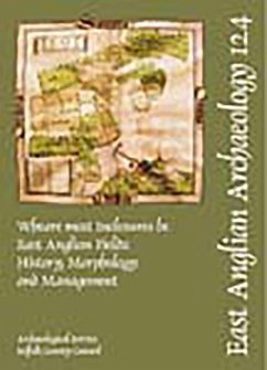
The results of a project carried out from 2000-05 to traces the historical development of field systems in East Anglia. The authors identified 8 land types (with 18 sub-types) and used these to analyse twelve areas in detail, particularly distinguishing between common fields and block holdings. Among their conclusions are that the co-axial fields identified are probably not as old as has sometimes been claimed (i.e. not pre-Roman), that East Anglia can be conveniently divided into two broad zones (with the river Gipping providing the boundary), and that the late Anglo-Saxon period proved to be one of significant change with both agricultural advances and Viking settlement leaving their mark on the landscape.
Hinweis: Dieser Artikel kann nur an eine deutsche Lieferadresse ausgeliefert werden.
Hinweis: Dieser Artikel kann nur an eine deutsche Lieferadresse ausgeliefert werden.

![Mediterranean Prehistoric Heritage: Training, Education and Management [With CDROM] Mediterranean Prehistoric Heritage: Training, Education and Management [With CDROM]](https://bilder.buecher.de/produkte/22/22518/22518501m.jpg)


