26,99 €
inkl. MwSt.
Versandkostenfrei*
Versandfertig in über 4 Wochen
  • Gebundenes Buch

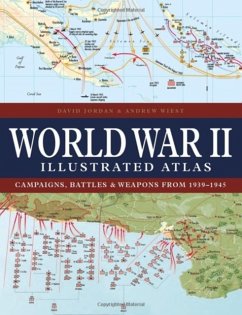
With 160 colour maps, World War II Illustrated Atlas plots the course of the land, sea and air campaigns in fine detail, tracing the ebb and flow of the fortunes of both sides. Contents include the land, sea and air campaigns in North-West Europe, Italy, North Africa, Russia, South-East Asia and the Pacific, Atlantic, and Mediterranean.

Produktbeschreibung
With 160 colour maps, World War II Illustrated Atlas plots the course of the land, sea and air campaigns in fine detail, tracing the ebb and flow of the fortunes of both sides. Contents include the land, sea and air campaigns in North-West Europe, Italy, North Africa, Russia, South-East Asia and the Pacific, Atlantic, and Mediterranean.
Hinweis: Dieser Artikel kann nur an eine deutsche Lieferadresse ausgeliefert werden.
Autorenporträt
David Jordan is senior lecturer at the Joint Services Command and Staff College, Shrivenham, where he teaches intermediate and advanced staff courses. He joined the Defence Studies Department of Kings College London in June 2000 from the University of Birmingham. He is chairman of the Board of Examiners for the MA in Defence Studies. He is the author of several books, including The Timeline of World War II, Wolfpack, and The History of the French Foreign Legion. Andrew Wiest is University Distinguished Professor of History at the University of Southern Mississippi and founding director of the university's Dale Center for the Study of War and Society. He is author of many books including The Illustrated History of World War I and The Boys of '67, and the co-author of Campaigns of World War II: The Pacific War, The Illustrated History of the Vietnam War, and Strategy and Tactics: Infantry Warfare.