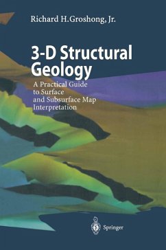
This is a handbook of practical techniques for making the best possible interpretation of geological structures at the map scale and for extracting the maximum amount of information from surface and subsurface maps. The 3-D structure is defined by internally consistent structure contour maps and cross sections of all horizons and faults. The book is directed toward the professional user who is concerned about both the accuracy of an interpretation and the speed with which it can be obtained from incomplete data. Quantitative methods are emphasized throughout, and numerous analytical solutions are given that can be easily implemented with a pocket calculator or a spreadsheet. Interpretation strategies are defined for GIS or CAD users, yet are simple enough to be done by hand. The user of this book will be able to produce better geological maps and cross sections, judge the quality of existing maps, and locate and fix mapping errors.
Dieser Download kann aus rechtlichen Gründen nur mit Rechnungsadresse in A, B, BG, CY, CZ, D, DK, EW, E, FIN, F, GR, HR, H, IRL, I, LT, L, LR, M, NL, PL, P, R, S, SLO, SK ausgeliefert werden.

