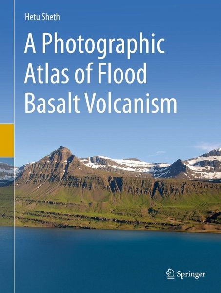
A Photographic Atlas of Flood Basalt Volcanism (eBook, PDF)
Versandkostenfrei!
Sofort per Download lieferbar
128,95 €
inkl. MwSt.
Weitere Ausgaben:

PAYBACK Punkte
64 °P sammeln!
This unique book presents hundreds of spectacular photographs of large-scale to small-scale field geological features of flood basalt volcanism from around the world. Major flood basalt provinces covered in this book include the British Palaeogene, Central Atlantic Magmatic Province, Columbia River, Deccan, East Greenland, Emeishan, Ethiopian, Ferrar-Karoo-Tasmania, Iceland, Indo-Madagascar, Paraná, Siberian, West Greenland, and others. Intermediate- to small-sized flood basalts (such as Saudi Arabia and South Caucasus) are also included.Different chapters of the book illustrate varied featur...
This unique book presents hundreds of spectacular photographs of large-scale to small-scale field geological features of flood basalt volcanism from around the world. Major flood basalt provinces covered in this book include the British Palaeogene, Central Atlantic Magmatic Province, Columbia River, Deccan, East Greenland, Emeishan, Ethiopian, Ferrar-Karoo-Tasmania, Iceland, Indo-Madagascar, Paraná, Siberian, West Greenland, and others. Intermediate- to small-sized flood basalts (such as Saudi Arabia and South Caucasus) are also included.
Different chapters of the book illustrate varied features of flood basalts, including landscapes, lava flow morphology and stacking, structures formed during lava flow transport, inflation and degassing, structures produced during lava solidification, subaqueous volcanism and volcanosedimentary associations, explosive volcanism, intrusions, igneous processes and magmatic diversity, tectonic deformation, secondary mineralization, and weathering and erosion.
This book will be valuable for a large audience: specialists studying flood basalt volcanology, petrology, geochemistry, geochronology, geophysics, and environmental impact and mass extinction links; nonspecialists who want to know more about flood basalts; field geologists (such as those working in geological surveys); students of volcanology and igneous petrology, and even people employed in the industry, such as those working on flood basalt-hosted groundwater or petroleum reservoirs.
Dieser Download kann aus rechtlichen Gründen nur mit Rechnungsadresse in A, B, BG, CY, CZ, D, DK, EW, E, FIN, F, GR, HR, H, IRL, I, LT, L, LR, M, NL, PL, P, R, S, SLO, SK ausgeliefert werden.


