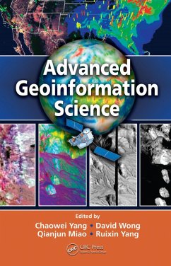
With pioneering editors and expert contributors, Advanced Geoinformation Science explores how certain technical aspects of geoinformation have been used and could be used to address such global issues such as tsunamis, hurricanes, economic crises, epidemics, and emergency responses. Enhanced with color illustrations, live examples such as GOS and AirNow, and insights from NASA, EPA, and USGS, the book delineates the problems communities are likely to face and explains how advanced geoinformation science can be a part of their solution.
Dieser Download kann aus rechtlichen Gründen nur mit Rechnungsadresse in A, B, BG, CY, CZ, D, DK, EW, E, FIN, F, GR, HR, H, IRL, I, LT, L, LR, M, NL, PL, P, R, S, SLO, SK ausgeliefert werden.

