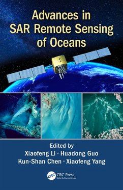
Advances in SAR Remote Sensing of Oceans (eBook, PDF)
Versandkostenfrei!
Sofort per Download lieferbar
48,95 €
inkl. MwSt.
Weitere Ausgaben:

PAYBACK Punkte
24 °P sammeln!
The oceans cover approximately 71% of Earth's surface, 90% of the biosphere and contains 97% of Earth's water. Since the first launch of SEASAT satellite in 1978, an increasing number of SAR satellites have or will become available, such as the European Space Agency's ERS-1/-2, ENVISAT, and Sentinel-1 series; the Canadian RADARSAT-1/-2 and the upcoming RADARSAT Constellation Mission series satellites; the Italian COSMO-SkyMed satellites, the German TERRASAR-X and TANDEM-X, and the Chinese GAOFEN-3 SAR, among others. Recently, European Space Agency has launched a new generation of SAR satellite...
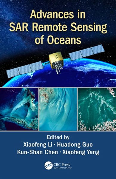
The oceans cover approximately 71% of Earth's surface, 90% of the biosphere and contains 97% of Earth's water. Since the first launch of SEASAT satellite in 1978, an increasing number of SAR satellites have or will become available, such as the European Space Agency's ERS-1/-2, ENVISAT, and Sentinel-1 series; the Canadian RADARSAT-1/-2 and the upcoming RADARSAT Constellation Mission series satellites; the Italian COSMO-SkyMed satellites, the German TERRASAR-X and TANDEM-X, and the Chinese GAOFEN-3 SAR, among others. Recently, European Space Agency has launched a new generation of SAR satellites, Sentinel-1A in 2014 and Sentinel-1B in 2016. These SAR satellites provide researchers with free and open SAR images necessary to carry out their research on the global oceans. The scope of Advances in SAR Remote Sensing of Oceans is to demonstrate the types of information that can be obtained from SAR images of the oceans, and the cutting-edge methods needed for analysing SAR images.
Written by leading experts in the field, and divided into four sections, the book presents the basic principles of radar backscattering from the ocean surface; introduces the recent progresses in SAR remote sensing of dynamic coastal environment and management; discusses the state-of-the-art methods to monitor parameters or phenomena related to the dynamic ocean environment; and deals specifically with new techniques and findings of marine atmospheric boundary layer observations.
Advances in SAR Remote Sensing of Oceans is a very comprehensive and up-to-date reference intended for use by graduate students, researchers, practitioners, and R&D engineers working in the vibrant field of oceans, interested to understand how SAR remote sensing can support oceanography research and applications.
Dieser Download kann aus rechtlichen Gründen nur mit Rechnungsadresse in A, B, BG, CY, CZ, D, DK, EW, E, FIN, F, GR, HR, H, IRL, I, LT, L, LR, M, NL, PL, P, R, S, SLO, SK ausgeliefert werden.


