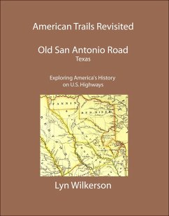
The Old San Antonio Road was, for two centuries, the main artery of travel between San Antonio and Nacogdoches. Religion was the strongest influence during the era of the rule of Spain (1519-1821). Missions and presidios were built at strategic locations, and the homes of the settlers, usually of palings or stone, clustered near their walls. Beside the El Camino Real (The King's Highway), the Nacogdoches Road and other dim highways of the wilderness, isolated settlements sprang up. However, the failure of the east Texas missions caused Spanish colonization to center in the area between San Antonio and the Rio Grande, and the eastern towns of San Augustine and Nacogdoches soon became Anglicized.
This historical travel guide explores approximately 250 historic sites and landmarks along the route of the Old San Antonio Road, from the Louisiana State Line at the Toledo Bend Reservoir to the city of San Antonio, including the cities of Nacogdoches, Crockett, San Marcos, and New Braunfels. Reference maps and GPS Coordinates for listed sites are included.
Dieser Download kann aus rechtlichen Gründen nur mit Rechnungsadresse in A, B, BG, CY, CZ, D, DK, EW, E, FIN, F, GR, HR, H, IRL, I, LT, L, LR, M, NL, PL, P, R, S, SLO, SK ausgeliefert werden.


