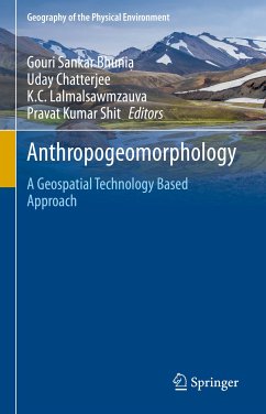
This book explores state-of-art techniques based on open-source software and statistical programming and modelling in modern geospatial applications, specifically focusing on recent trends in data mining techniques and robust modelling in Geomorphological, Hydrological, Bio-physical and Social activities. The book is organized into physical, mountainous, coastal, riverine, forest, urban and biological activities, with each chapter providing a review of the current knowledge in the focus area, and evaluating where future efforts should be directed. The text compiles a collection of recent developments and rigorous applications of Geospatial computational intelligence (e.g., artificial neural network, spatial interpolation, physical and environmental modelling and machine learning algorithms etc) in geomorphic processes from a team of expert contributors. The authors address the wide range of challenges and uncertainties in the study of earth system dynamics due to climate change, and complex anthropogenic interferences where spatial modelling may be applied in the risk assessment of vulnerable geomorphological landscapes. The book will act as a guide to find recent advancements in geospatial artificial intelligence techniques and its application to natural and social hazards. This information will be helpful for students, researchers, policy makers, environmentalists, planners involved in natural hazard and disaster management, NGOs, and government organizations.
Dieser Download kann aus rechtlichen Gründen nur mit Rechnungsadresse in A, B, BG, CY, CZ, D, DK, EW, E, FIN, F, GR, HR, H, IRL, I, LT, L, LR, M, NL, PL, P, R, S, SLO, SK ausgeliefert werden.

