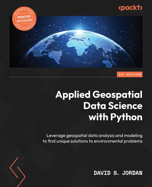
Applied Geospatial Data Science with Python (eBook, ePUB)
Leverage geospatial data analysis and modeling to find unique solutions to environmental problems
Versandkostenfrei!
Sofort per Download lieferbar
39,59 €
inkl. MwSt.
Weitere Ausgaben:

PAYBACK Punkte
0 °P sammeln!
Data scientists, when presented with a myriad of data, can often lose sight of how to present geospatial analyses in a meaningful way so that it makes sense to everyone. Using Python to visualize data helps stakeholders in less technical roles to understand the problem and seek solutions. The goal of this book is to help data scientists and GIS professionals learn and implement geospatial data science workflows using Python. Throughout this book, you'll uncover numerous geospatial Python libraries with which you can develop end-to-end spatial data science workflows. You'll learn how to read, p...
Data scientists, when presented with a myriad of data, can often lose sight of how to present geospatial analyses in a meaningful way so that it makes sense to everyone. Using Python to visualize data helps stakeholders in less technical roles to understand the problem and seek solutions. The goal of this book is to help data scientists and GIS professionals learn and implement geospatial data science workflows using Python. Throughout this book, you'll uncover numerous geospatial Python libraries with which you can develop end-to-end spatial data science workflows. You'll learn how to read, process, and manipulate spatial data effectively. With data in hand, you'll move on to crafting spatial data visualizations to better understand and tell the story of your data through static and dynamic mapping applications. As you progress through the book, you'll find yourself developing geospatial AI and ML models focused on clustering, regression, and optimization. The use cases can be leveraged as building blocks for more advanced work in a variety of industries. By the end of the book, you'll be able to tackle random data, find meaningful correlations, and make geospatial data models.
Dieser Download kann aus rechtlichen Gründen nur mit Rechnungsadresse in A, B, BG, CY, CZ, D, DK, EW, E, FIN, F, GR, H, IRL, I, LT, L, LR, M, NL, PL, P, R, S, SLO, SK ausgeliefert werden.


