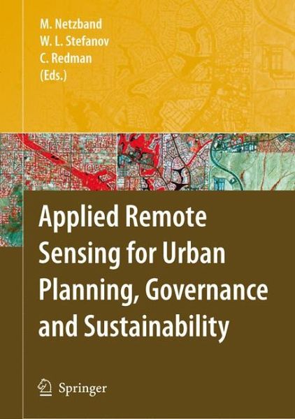
This evaluation of the potential of remote sensing of urban areas helps to close a gap between the research-focused results offered by the "urban remote sensing" community, and the application of these data and products by the governing bodies of cities and urban regions. The authors present data from six urban regions worldwide. They explain what the important questions are, and how data and scientific skills can help answer them.
Dieser Download kann aus rechtlichen Gründen nur mit Rechnungsadresse in A, B, BG, CY, CZ, D, DK, EW, E, FIN, F, GR, HR, H, IRL, I, LT, L, LR, M, NL, PL, P, R, S, SLO, SK ausgeliefert werden.

