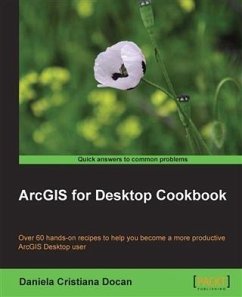
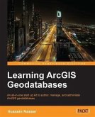
ArcGIS for Desktop is one of the strongest components of the Esri ArcGIS platform. Users find it exciting because it has a lot of powerful tools and can work with a wide range of spatial data formats.This book will make you a more effective and efficient GIS user by showing you how to use ArcGIS for Desktop to create your own geodatabase model and manage layers, symbols, and label styles. Furthermore it will help you learn how to create map documents, edit data in feature classes, find and fix topological errors, analyze surfaces, and most importantly create 3D representations, import and export several different data formats, and much more.
Dieser Download kann aus rechtlichen Gründen nur mit Rechnungsadresse in A, B, BG, CY, CZ, D, DK, EW, E, FIN, F, GR, HR, H, IRL, I, LT, L, LR, M, NL, PL, P, R, S, SLO, SK ausgeliefert werden.

