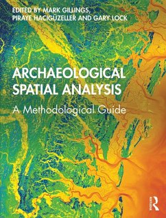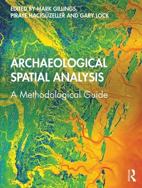
Archaeological Spatial Analysis (eBook, ePUB)
A Methodological Guide
Redaktion: Gillings, Mark; Lock, Gary; Hacigüzeller, Piraye
39,95 €
39,95 €
inkl. MwSt.
Sofort per Download lieferbar
20 °P sammeln
39,95 €
Als Download kaufen
39,95 €
inkl. MwSt.
Sofort per Download lieferbar
20 °P sammeln
Jetzt verschenken
Alle Infos zum eBook verschenken
39,95 €
inkl. MwSt.
Sofort per Download lieferbar
Alle Infos zum eBook verschenken
20 °P sammeln
Archaeological Spatial Analysis (eBook, ePUB)
A Methodological Guide
Redaktion: Gillings, Mark; Lock, Gary; Hacigüzeller, Piraye
- Format: ePub
- Merkliste
- Auf die Merkliste
- Bewerten Bewerten
- Teilen
- Produkt teilen
- Produkterinnerung
- Produkterinnerung
Bitte loggen Sie sich zunächst in Ihr Kundenkonto ein oder registrieren Sie sich bei
bücher.de, um das eBook-Abo tolino select nutzen zu können.
Hier können Sie sich einloggen
Sie sind bereits eingeloggt. Klicken Sie auf 2. tolino select Abo, um fortzufahren.
Bitte loggen Sie sich zunächst in Ihr Kundenkonto ein oder registrieren Sie sich bei bücher.de, um das eBook-Abo tolino select nutzen zu können.
Effective spatial analysis is an essential element of archaeological research; this book is a unique guide to choosing the appropriate technique, applying it correctly and understanding its implications both theoretically and practically.
- Geräte: eReader
- ohne Kopierschutz
- eBook Hilfe
- Größe: 54.41MB
Andere Kunden interessierten sich auch für
- Archaeological Spatial Analysis (eBook, PDF)39,95 €
- Palaeolandscapes in Archaeology (eBook, ePUB)42,95 €
- Charles R. OrtloffThe Hydraulic State (eBook, ePUB)42,95 €
- Re-Mapping Archaeology (eBook, ePUB)42,95 €
- Patrick RobertsJungle (eBook, ePUB)9,49 €
- L. FebvreA Geographical Introduction to History (eBook, ePUB)48,95 €
- Practical Applications of GIS for Archaeologists (eBook, ePUB)89,95 €
-
-
-
Effective spatial analysis is an essential element of archaeological research; this book is a unique guide to choosing the appropriate technique, applying it correctly and understanding its implications both theoretically and practically.
Dieser Download kann aus rechtlichen Gründen nur mit Rechnungsadresse in A, B, BG, CY, CZ, D, DK, EW, E, FIN, F, GR, HR, H, IRL, I, LT, L, LR, M, NL, PL, P, R, S, SLO, SK ausgeliefert werden.
Produktdetails
- Produktdetails
- Verlag: Taylor & Francis
- Seitenzahl: 512
- Erscheinungstermin: 16. Januar 2020
- Englisch
- ISBN-13: 9781351243834
- Artikelnr.: 58517298
- Verlag: Taylor & Francis
- Seitenzahl: 512
- Erscheinungstermin: 16. Januar 2020
- Englisch
- ISBN-13: 9781351243834
- Artikelnr.: 58517298
- Herstellerkennzeichnung Die Herstellerinformationen sind derzeit nicht verfügbar.
Mark Gillings is a Professor of Archaeology in the Department of Archaeology & Anthropology at Bournemouth University. His research interests concentrate upon the productive spaces that emerge through the integrated study of landscape, archaeological theory and digital archaeology, with a particular focus upon the potentials of all things geospatial and virtual. Much of his recent research has centred upon the prehistoric landscapes of south-western Britain, and the relationships that animated the complex, multi-scalar motleys of monumental structures and traces of everyday dwelling that characterise this region. Piraye Hac¿güzeller is a senior postdoctoral researcher at the Ghent Centre for Digital Humanities and the Archaeology Department of Ghent University. Her research interests are the theory and practice of digital archaeology and, more generally, digital humanities, specifically in the cases of geospatial data visualisation, management and analysis. She is the co-editor of a recent book on archaeological mapping, Re-mapping Archaeology: Critical Perspectives, Alternative Mappings (Routledge, 2018). Gary Lock is Emeritus Professor of Archaeology at the University of Oxford where he has spent 35 years teaching and researching several areas of archaeology. One of his specialisms is the British Iron Age, especially hillforts, and he was Co-PI of the Atlas of Hillforts of Britain and Ireland. His other main area of interest is computer applications in archaeology, especially GIS and spatial archaeology, in which he has published several books. He has recently retired as Chair of the Computer Applications in Archaeology conference.
List of figures. List of tables. List of contributors. 1. Archaeology and
spatial analysis. 2. Preparing archaeological data for spatial analysis. 3.
Spatial sampling. 4. Spatial point patterns and processes. 5. Percolation
analysis. 6. Geostatistics and spatial structure in archaeology. 7. Spatial
interpolation. 8. Spatial applications of correlation and linear
regression. 9. Non-stationarity and local spatial analysis. 10. Spatial
fuzzy sets. 11. Spatial approaches to assignment. 12. Analysing regional
environmental relationships. 13. Predictive spatial modelling. 14. Spatial
agent-based modelling. 15. Spatial networks. 16. Space syntax methodology.
17. GIS-based visibility analysis. 18. Spatial analysis based on cost
functions. 19. Processing and analysing satellite data. 20. Processing and
analysing geophysical data. 21. Space and time. 22. Challenges in the
analysis of geospatial 'Big Data'. 23. The analytical role of 3D realistic
computer graphics. 24. Spatial data visualisation and beyond. Index.