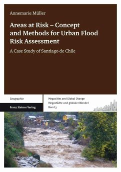
The risk assessment is carried out using case-specific indicators on the sub-city scale in two municipalities of Santiago de Chile. Relevant information is derived from various geodata sources, and together with explorative scenarios, is used to estimate future risk development. All data about hazard, elements at risk, and their vulnerability are compiled to a GIS-based risk map to join the risk-relevant components, to show their interrelations, and to provide a tool for monitoring and evaluating their changes over time. Finally, previous deficits in flood risk prevention and mitigation are outlined and recommendations on risk reduction are made.
Annemarie Müller studierte Geographie an der Friedrich-Schiller-Universität Jena und an der Dalhousie University in Halifax, Kanada. Nach Ihrer Abschlussarbeit über die Bewertung sozialer Verwundbarkeit die sie am International Institute for Earth Observation and Geo-Information in Enschede, den Niederlanden, schrieb begann Sie Ihre Doktorarbeit über urbane Hochwasserrisikobewertung am Helmholtz-Zentrum für Umweltforschung. Dort ist Sie weiterhin als Wissenschaftliche Mitarbeiterin tätig.
Annemarie Müller studied geography at the University of Jena, Germany and Dalhousie University of Halifax, Canada. After finishing her MSc thesis on vulnerability assessment at the ITC Enschede, the Netherlands, she started working on her PhD on urban flood risk assessment at the Helmholtz-Zentrum für Umweltforschung (UFZ) Leipzig, Germany, where she has been working as a scientific collaborator since.
Dieser Download kann aus rechtlichen Gründen nur mit Rechnungsadresse in A, B, BG, CY, CZ, D, DK, EW, E, FIN, F, GR, HR, H, IRL, I, LT, L, LR, M, NL, PL, P, R, S, SLO, SK ausgeliefert werden.

