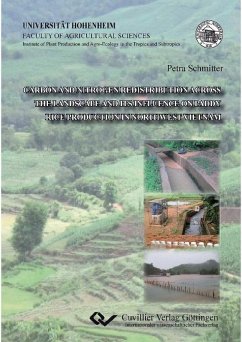
As a result of demographic pressure, governmental policies and improved market access, agricultural practices were intensified in the tropical mountainous areas of Southeast Asia. Side effects are water erosion and landslides on steep slopes creating tremendous sediment fluxes in these mountainous headwater systems. The construction of reservoirs allowed storing rainfall and runoff water in order to feed irrigation systems, supporting a second rice crop outside of the rainy season. In the rainy season these systems act as a sediment conveyor transporting and re-allocating nutrients in the lowland. The goal of this thesis which was to: (i) trace and quantify sediment associated organic carbon and total nitrogen fluxes in irrigation water, (ii) assess whether sediment deposition enhances soil spatial variation and crop performance along toposequences of paddy rice terraces and (iii) to understand the influence of flooding events on farmers’ perception in relation to agricultural practices and adaptation of mitigation strategies.
The study showed the importance of irrigation management on nutrient reallocation in the lowland and estimated that the reservoir accounted for more ten 93% of these C and N loads. Paddies close to the irrigation channel received less nutrient rich sediment, which resulted in a decrease of SOC and Total N content and an increase in sand fraction. Grain yield measurements followed the same pattern as the soil spatial variation found in the rice fields. However, sediment delivery via flooding (or direct runoff, in the case of rainfed paddies) strongly decreased soil fertility and crop productivity as these were nutrient poor - sandy sediments. Individual farmers’ willingness to adopt mitigation strategies was influenced by the economic impact of flooding at household level, external factors (e.g. climatic factors, water management failures) and a lack of understanding of the linkage between upland and lowland agricultural practices. Successful implementation of soil conservation techniques therefore will depend highly on local policy makers as they need to invest in raising farmers’ awareness regarding upland-lowland linkages and providing appropriate incentives.
As the understanding of nutrient redistribution processes is not straight forward and has a high spatio-temporal character, this work showed that the combination of stable isotope techniques, field measurements and mixed models helped in understanding the linkage between upland erosion and lowland sedimentation and moreover on crop productivity at toposequence level. The assessment of nutrient enrichment and depletion regions within the lowland can be used in designing site-specific fertilizer and water management practices. Furthermore, the identification of the processes behind nutrient redistribution allows modelers and policy makers to better assess the impact of land use change on ecosystems.
Dieser Download kann aus rechtlichen Gründen nur mit Rechnungsadresse in A, B, BG, CY, CZ, D, DK, EW, E, FIN, F, GR, HR, H, IRL, I, LT, L, LR, M, NL, PL, P, R, S, SLO, SK ausgeliefert werden.

