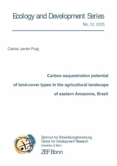
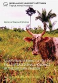
The Bragantina region is located in eastern Amazonia, Northern Brazil, covering around 9000 km and with a long history of agricultural activities. For over 150 years, human activities have modified the landscape and reduced the primary forest area to less than 5 % of the original cover (Hedden-Dunkhorst et al., 2004). Land use consists mainly of livestock grazing and cultivation of annual and perennial crops mixed with spontaneous forest vegetation in the fallow areas. During the past 40 years, the population has rapidly increased and the road network expanded, which has led to increasing pressure on the land resources. As the smallholders have to produce increasing amounts of food supplies for the neighboring cities, fallow periods are shortened, and soils and fallow vegetation have become degraded. Although the Bragantina region is an old colonized region, other tropical areas along the Amazonian basin have been recently deforested and 30 % of these areas are covered by secondary forests (Fearnside and Guimarães, 1996; Houghton et al., 2000). Alternatives uses for secondary forest must be developed in order to avoid the degradation of further areas. Forest management and atmospheric carbon sequestration of secondary forest are alternatives to be explored.
Dieser Download kann aus rechtlichen Gründen nur mit Rechnungsadresse in A, B, BG, CY, CZ, D, DK, EW, E, FIN, F, GR, HR, H, IRL, I, LT, L, LR, M, NL, PL, P, R, S, SLO, SK ausgeliefert werden.

