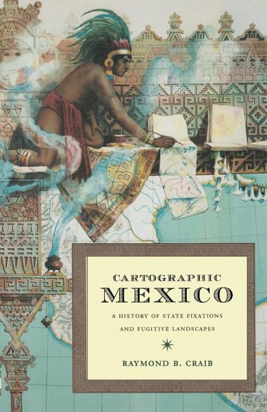
Cartographic Mexico (eBook, PDF)
A History of State Fixations and Fugitive Landscapes
Versandkostenfrei!
Sofort per Download lieferbar
144,95 €
inkl. MwSt.
Weitere Ausgaben:

PAYBACK Punkte
72 °P sammeln!
In Cartographic Mexico, Raymond B. Craib analyzes the powerful role cartographic routines such as exploration, surveying, and mapmaking played in the creation of the modern Mexican state in the nineteenth and early twentieth centuries. Such routines were part of a federal obsession-or "e;state fixation"e;-with determining and "e;fixing"e; geographic points, lines, and names in order to facilitate economic development and political administration. As well as analyzing the maps that resulted from such routines, Craib examines in close detail the processes that eventually generate...
In Cartographic Mexico, Raymond B. Craib analyzes the powerful role cartographic routines such as exploration, surveying, and mapmaking played in the creation of the modern Mexican state in the nineteenth and early twentieth centuries. Such routines were part of a federal obsession-or "e;state fixation"e;-with determining and "e;fixing"e; geographic points, lines, and names in order to facilitate economic development and political administration. As well as analyzing the maps that resulted from such routines, Craib examines in close detail the processes that eventually generated them. Taking central Veracruz as a case in point, he shows how in the field, agrarian officials, military surveyors, and metropolitan geographers traversed a "e;fugitive landscape"e; of overlapping jurisdictions and use rights, ambiguous borders, shifting place names, and villagers with their own conceptions of history and territory. Drawing on an array of sources-including maps, letters from peasants, official reports, and surveyors' journals and correspondence-Craib follows the everyday, contested processes through which officials attempted to redefine and codify such fugitive landscapes in struggle with the villagers they encountered in the field. In the process, he vividly demonstrates how surveying and mapmaking were never mere technical procedures: they were, and remain to this day, profoundly social and political practices in which surveyors, landowners, agrarian bureaucrats, and peasants all played powerful and complex roles.
Dieser Download kann aus rechtlichen Gründen nur mit Rechnungsadresse in A, B, BG, CY, CZ, D, DK, EW, E, FIN, F, GR, HR, H, IRL, I, LT, L, LR, M, NL, PL, P, R, S, SLO, SK ausgeliefert werden.


