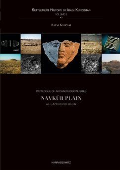
Catalogue of Archaeological Sites. Navkur Plain (eBook, PDF)
Karbk Stream Basin

PAYBACK Punkte
0 °P sammeln!
The series presents the results of research carried out in the Iraqi Kurdistan from 2012 through 2017. During this time, an extremely rich group of heritage monuments was registered on an area of 3058 km2 located on both banks of the Greater Zab, at the foot of the Kurdistan mountains. More than 300 archaeological sites, 4 rock reliefs, nearly 80 cultural heritage monuments (cemeteries, Christian, Muslim and Jewish architecture, industrial installations) and over 100 caves illustrate nearly 10.000 years of the region's history, from the Neolithic period to the mid-20th century AD. The SHIK wil...
The series presents the results of research carried out in the Iraqi Kurdistan from 2012 through 2017. During this time, an extremely rich group of heritage monuments was registered on an area of 3058 km2 located on both banks of the Greater Zab, at the foot of the Kurdistan mountains. More than 300 archaeological sites, 4 rock reliefs, nearly 80 cultural heritage monuments (cemeteries, Christian, Muslim and Jewish architecture, industrial installations) and over 100 caves illustrate nearly 10.000 years of the region's history, from the Neolithic period to the mid-20th century AD. The SHIK will consist of two introductory volumes (an atlas and a volume on the project's methodology), eight volumes presenting the dataset for settlement sites (six volumes), caves and heritage monuments (one volume each), and a volume analyzing the development of the settlement during particular periods. The second volume of the site catalogue contains a complete dataset for 34 archaeological sites documented in 2013, 2014, and 2015 on a stretch of land connecting the Navk¿r Plain and the Greater Zab river valley along the K¿rbk stream. The flat area between the Sart mountains in the north and the Zark Bardää hills in the south, up to 10 km in width, offers very good conditions for travel in the east-west direction, and was used by the King Road of the Persian period, if not earlier. Additionally, the volume contains an analysis of relevant images of U2 and CORONA spy missions and contemporary satellite imagery, a discussion of relevant maps from the Atlas of Archaeological Sites in Iraq, and indexes.
Dieser Download kann aus rechtlichen Gründen nur mit Rechnungsadresse in A, B, BG, CY, CZ, D, DK, EW, E, FIN, F, GR, HR, H, IRL, I, LT, L, LR, M, NL, PL, P, R, S, SLO, SK ausgeliefert werden.


