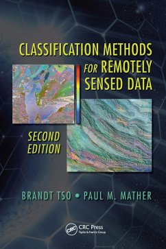
Classification Methods for Remotely Sensed Data, Second Edition provides a comprehensive review of the field of classification methods applied to remotely sensed data. This edition provides seven fully revised chapters, and two new chapters covering support vector machines (SVM) and decision trees. The book also includes updated bibliographic references and updated discussions and descriptions of Earth observation missions. After an introduction to the basics, the text provides a detailed discussion of different approaches to image classification, including maximum likelihood, fuzzy sets, and artificial neural networks.
Dieser Download kann aus rechtlichen Gründen nur mit Rechnungsadresse in A, B, BG, CY, CZ, D, DK, EW, E, FIN, F, GR, HR, H, IRL, I, LT, L, LR, M, NL, PL, P, R, S, SLO, SK ausgeliefert werden.
Hinweis: Dieser Artikel kann nur an eine deutsche Lieferadresse ausgeliefert werden.

