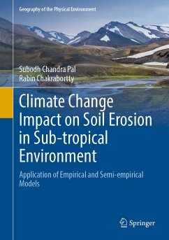
The monsoon-dominated sub-tropical region has unique characteristics in terms of seasonal temperature fluctuations and the availability of rainfall events. The sub-tropical region is densely populated, with the majority of the population relying on rain-fed agricultural production systems. The declining rate of agricultural production has also established that soil fertility is declining and soil erosion is increasing. Numerous studies show that soil erosion is the major cause of the region's rapidly increasing trend of land degradation. A homeostatic mechanism cannot replace soil erosion, and a gap arises between soil erosion and regolith formation. Extreme changes in land use and land cover, population growth and the lacking support for traditional agricultural practices and management practices can accelerate the rate of soil erosion and its associated reservoir sedimentation in most countries of the tropical and sub-tropical environment. Quantitative information with maximum possible accuracy through validation regarding soil loss can be an essential part of the appropriate and sustainable soil and water conservation planning. The precise aspects of modern day management strategies are soil erosion susceptibility mapping using empirical and semi-empirical models in a GIS platform or the use of probability statistics.
The main objective of this work is to propose the most suitable developmentstrategies considering the amount of soil erosion for the present and future periods. Extensive field research has been done to identify the support practice factor that the local stakeholders adopt in this region.
Dieser Download kann aus rechtlichen Gründen nur mit Rechnungsadresse in A, B, BG, CY, CZ, D, DK, EW, E, FIN, F, GR, HR, H, IRL, I, LT, L, LR, M, NL, PL, P, R, S, SLO, SK ausgeliefert werden.

