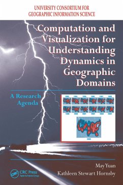
Computation and Visualization for Understanding Dynamics in Geographic Domains (eBook, ePUB)
A Research Agenda
Versandkostenfrei!
Sofort per Download lieferbar
53,95 €
inkl. MwSt.

PAYBACK Punkte
27 °P sammeln!
The world is ever changing, and a comprehensive understanding of the world will not be achieved without theoretical and methodological advances to decode complex dynamics in human and environmental systems. Computation and Visualization for the Understanding of Dynamics in Geographic Domains: A Research Agenda synthesizes key ideas and issu
Dieser Download kann aus rechtlichen Gründen nur mit Rechnungsadresse in A, B, BG, CY, CZ, D, DK, EW, E, FIN, F, GR, HR, H, IRL, I, LT, L, LR, M, NL, PL, P, R, S, SLO, SK ausgeliefert werden.


