65,95 €
65,95 €
inkl. MwSt.
Sofort per Download lieferbar
payback
33 °P sammeln
65,95 €
65,95 €
inkl. MwSt.
Sofort per Download lieferbar

Alle Infos zum eBook verschenken
payback
33 °P sammeln
Als Download kaufen
65,95 €
inkl. MwSt.
Sofort per Download lieferbar
payback
33 °P sammeln
Jetzt verschenken
65,95 €
inkl. MwSt.
Sofort per Download lieferbar

Alle Infos zum eBook verschenken
payback
33 °P sammeln
  • Format: ePub

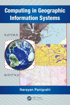
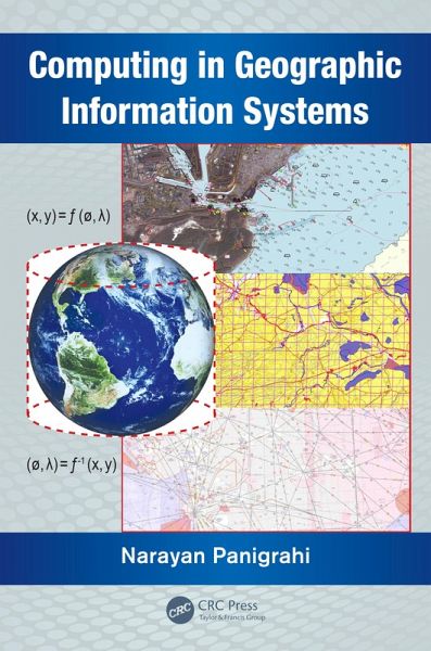
This book explores key concepts in GIS such as geodesy; the coordinate or referencing system for referring objects on Earth's surface. It explains how the spatial data and 3D surface of Earth are projected on to a flat surface to make a map through different map projection methods. It examines how three different types of geometry help in the analysis of spatial data. It also discusses the mathematical formulations of how to compute physical parameters of geometric and spatial quantities using different spatial data.

  • Geräte: eReader
  • ohne Kopierschutz
  • eBook Hilfe
  • Größe: 3.55MB
Produktbeschreibung
This book explores key concepts in GIS such as geodesy; the coordinate or referencing system for referring objects on Earth's surface. It explains how the spatial data and 3D surface of Earth are projected on to a flat surface to make a map through different map projection methods. It examines how three different types of geometry help in the analysis of spatial data. It also discusses the mathematical formulations of how to compute physical parameters of geometric and spatial quantities using different spatial data.

Dieser Download kann aus rechtlichen Gründen nur mit Rechnungsadresse in A, B, BG, CY, CZ, D, DK, EW, E, FIN, F, GR, HR, H, IRL, I, LT, L, LR, M, NL, PL, P, R, S, SLO, SK ausgeliefert werden.

Autorenporträt
Dr. Narayan Panigrahi is a practicing geo-spatial scientist in the Centre for Artificial Intelligence and Robotics (CAIR), Bangalore, India. He obtained his master's degree from the J.K. Institute of Applied Physics and Technology, University of Allahabad, his M Tech from the Indian Institute of Technology (IIT), Kharagpur, and his PhD from IIT, Bombay, India. His current research interests include geographical information science, design and optimization of algorithms for computation of spatial data in vector and raster form obtained through different sensors, and application of GIS for resource mapping and operation planning.